
Windshield Survey · Waiyaki Way · Kikuyu to Westlands
Waiyaki Way Windshield Survey: Apartment & Commercial Blocks from Westlands to Kikuyu
A photographed, GPS-tagged drive from the Kikuyu end of Waiyaki Way into Westlands, recording high-rise residential and commercial construction against the outer-ring blocks.
Method
How this windshield survey was done
A windshield survey records what is visible from the road without entering sites. Each photograph in this survey was taken from a moving vehicle with a phone camera that wrote the latitude, longitude, and capture time into the image metadata. We sorted the frames by that metadata to confirm which road each one belongs to, then analysed a representative set of apartment, mixed-use, and commercial blocks.
Read the results as market evidence, not as measurements:
- Storey counts are visual estimates from floor lines and balconies, shown with a tilde.
- Status (completed or under construction) reflects scaffold netting, exposed frames, and finishes at the time of capture.
- The survey shows nothing about title, ownership, rents, occupancy, soil, or approvals.
- The buildings are third-party properties; they are not Patment Invest projects.
Route
Segments of the survey
The photographs fall into these sections along the road, based on GPS position and capture time.
| Segment | Approx. location | Photographs | GPS span (decimal degrees) | What stood out |
|---|---|---|---|---|
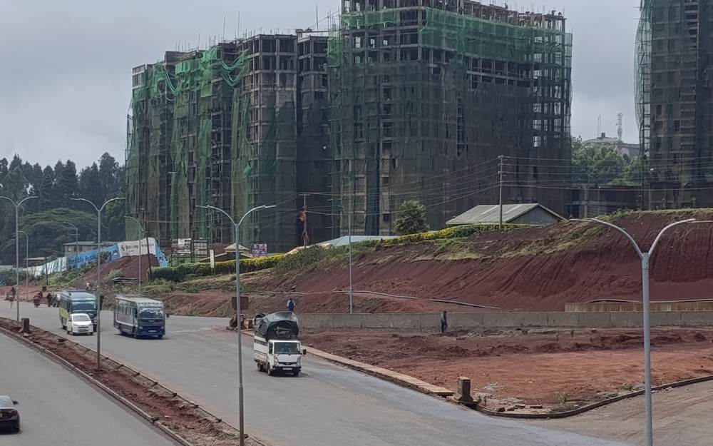
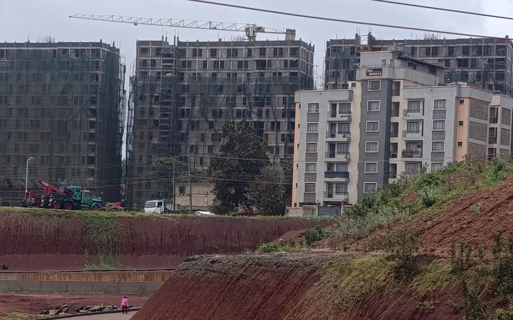
| Kikuyu end | Waiyaki Way dual carriageway at the Kikuyu end | 5 | -1.2359 to -1.2321 lat; 36.6706 to 36.672 lon | Large frames behind red-earth embankments; construction still at an early stage. |
| West of Westlands | Waiyaki Way between the outer suburbs and Westlands | 11 | -1.2613 to -1.2595 lat; 36.7909 to 36.7968 lon | A very tall frame rising behind low-density bungalows and compounds. |
| Westlands | Westlands node | 13 | -1.2724 to -1.2655 lat; 36.8029 to 36.8142 lon | Glazed office frontages and 20-storey-plus towers on a high land basis. |
Photographs
What we saw along Waiyaki Way
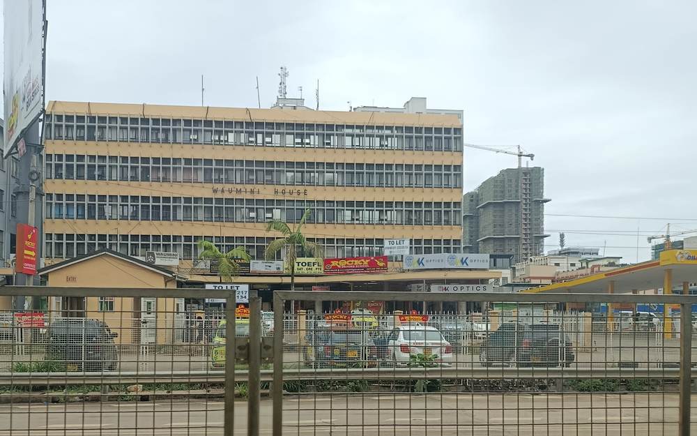
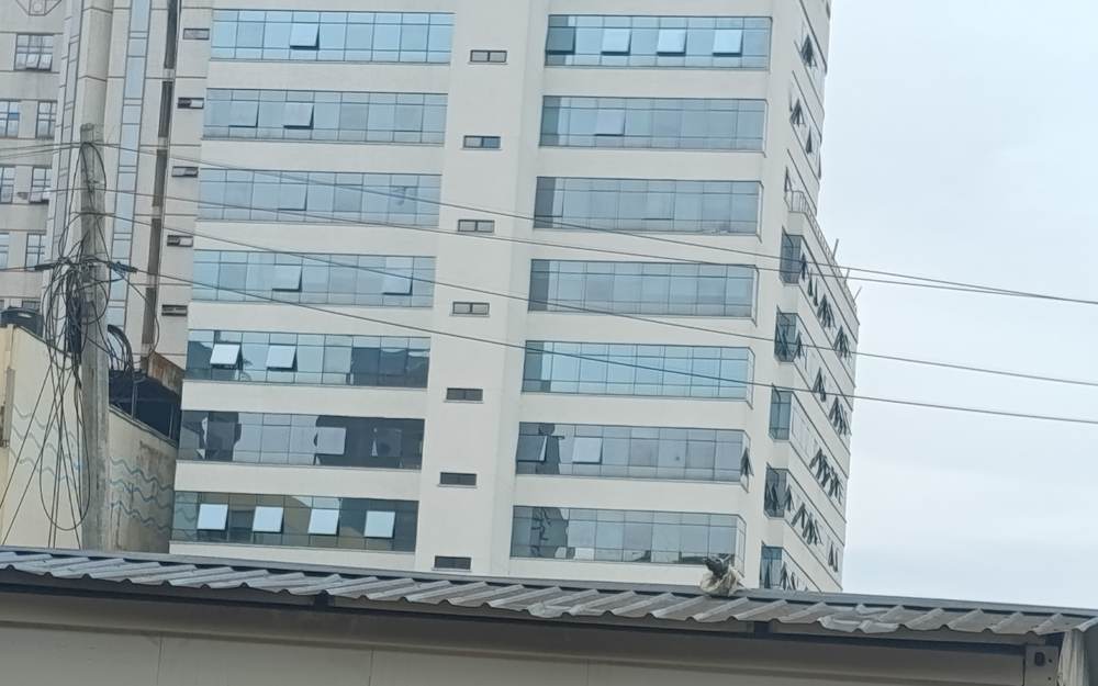
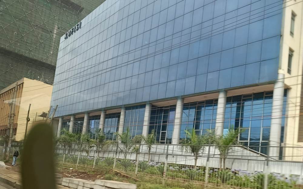
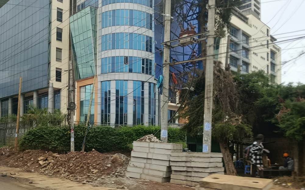
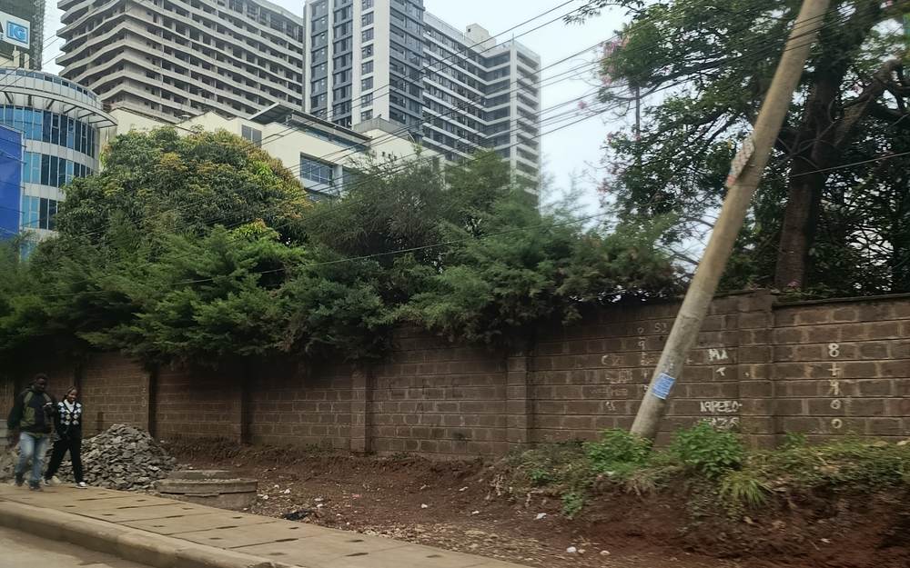
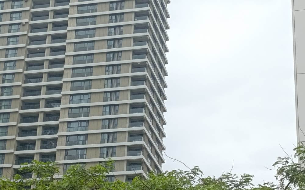
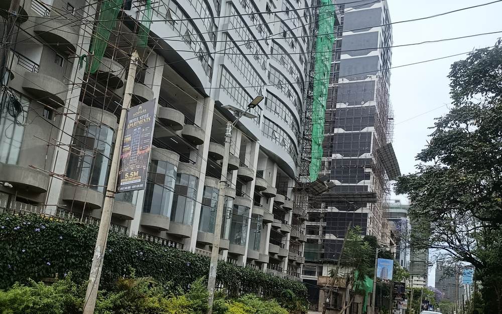
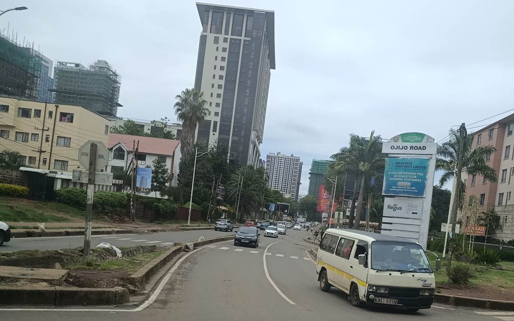
Each caption gives the camera reference, capture time, GPS position, typology, estimated storeys, and construction status.
Observation log
Block-by-block log of the 12 frames analysed
| Reference | Captured | GPS (lat, lon) | Typology | Est. storeys | Status | Ground floor | Notes |
|---|---|---|---|---|---|---|---|
| IMG_20261106_121339 | 06 Nov 2026, 12:13 | -1.23591, 36.67196 | Apartment blocks (cluster) | ~8–12 | Under construction | Not visible | A group of frames set behind a red-earth cutting beside the dual carriageway; no direct frontage to the road. |
| IMG_20261106_121351 | 06 Nov 2026, 12:13 | -1.23206, 36.67055 | Apartment blocks (cluster) | ~9–10 | Under construction, one block completed | Not visible | Dark-clad frames with tower cranes; a lighter completed block at right shows the intended finish. |
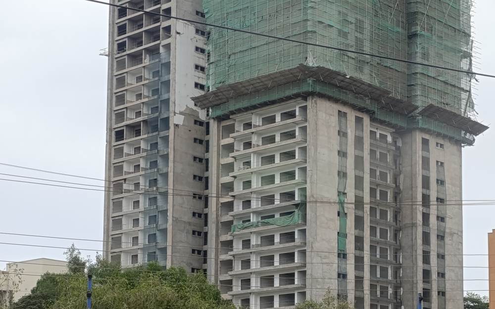
| IMG_20261106_124238 | 06 Nov 2026, 12:42 | -1.26134, 36.79288 | Residential tower | ~25–30 | Under construction | Not visible | Safety netting on the upper floors of a very tall tower rising behind single-storey bungalow roofs. |
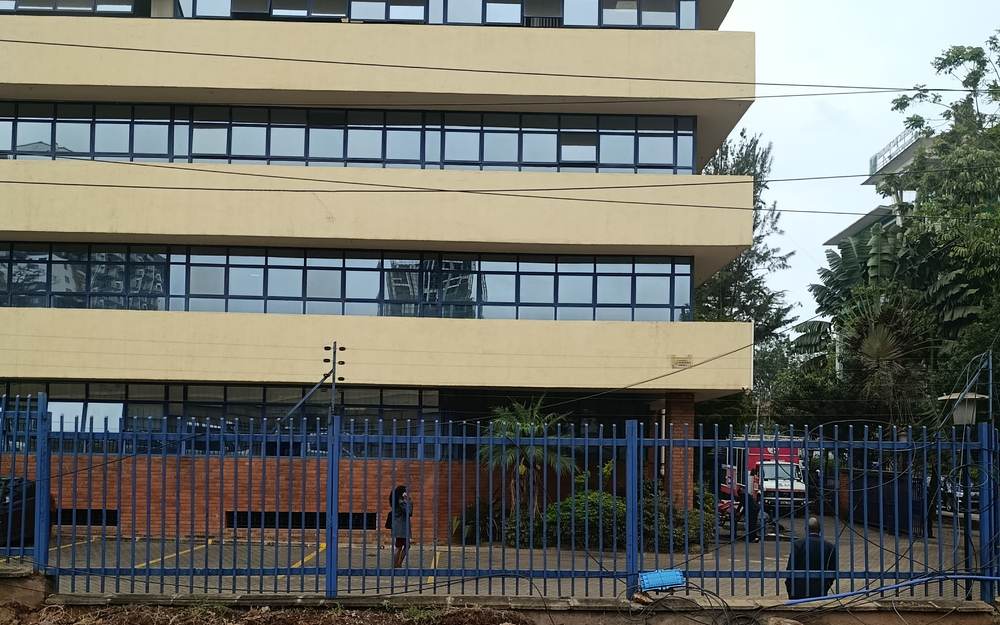
| IMG_20261106_124337 | 06 Nov 2026, 12:43 | -1.26046, 36.79530 | Office / institutional block | ~5 | Completed | Not visible | Cream facade with horizontal bands behind a perimeter fence. |
| IMG_20261106_124836 | 06 Nov 2026, 12:48 | -1.26548, 36.80294 | Commercial / office block | ~5–6 | Completed | Not visible | Seen across a fenced reserve; a taller tower is rising immediately to its right. |
| IMG_20261106_124914 | 06 Nov 2026, 12:49 | -1.26549, 36.80316 | Office block | ~10–12 | Completed | Not visible | Glazed white and blue facade standing above a low roofed structure. |
| IMG_20261106_125056 | 06 Nov 2026, 12:50 | -1.26639, 36.80509 | Commercial / office frontage | ~6–8 | Completed | Large glazed frontage at street level | Blue-glass facade; pavement works with stacked kerb stones in front. |
| IMG_20261106_125058 | 06 Nov 2026, 12:50 | -1.26639, 36.80509 | Mixed-use tower | ~12+ | Completed | Not visible | Curved-glass tower behind a verge strewn with paving stones, suggesting ongoing street works. |
| IMG_20261106_125101 | 06 Nov 2026, 12:51 | -1.26639, 36.80509 | Apartment towers (gated plots) | ~15–25 | Completed | Not visible | Several towers rise beyond a perimeter wall and mature trees; plots are walled and gated. |
| IMG_20261106_125125 | 06 Nov 2026, 12:51 | -1.26881, 36.80619 | Residential tower | ~25+ | Completed | Not visible | A slim, tall tower typical of the Westlands skyline. |
| IMG_20261106_125250 | 06 Nov 2026, 12:52 | -1.27238, 36.81308 | Mixed-use buildings | ~12–20 | Completed and under construction | Commercial frontage at ground level on older lower buildings | A narrow street between tall mixed-use buildings and older low-rise shops. |
| IMG_20261106_125435 | 06 Nov 2026, 12:54 | -1.27225, 36.81424 | Residential tower | ~20 | Completed | Not visible | A slim tower in the distance beyond a landscaped median; matatu traffic in the carriageway. |
Findings
What the survey shows
Of the 12 frames analysed, 8 show completed blocks and 2 show blocks under construction, and 2 show both a completed building and a frame under construction.
- Westlands is dominated by 20-storey-plus towers on walled plots, a form that needs a very high land basis and is a different product from outer-ring apartment blocks.
- At the Kikuyu end, large frames are rising behind earthworks and have no direct road frontage, so access design and drainage are decisive.
- Construction is active at both ends of the road, and the tallest frame observed (about 25 to 30 storeys) is in progress near Westlands.
- Glazed office and commercial frontages dominate the Westlands stretch, in contrast to the residential bias of the outer corridors.
- Street works (kerb stones, paving) were visible in several Westlands frames, which can disrupt access during construction.
Implications
What this means for investors
General observations only. Every plot needs its own feasibility review.
- Westlands-style towers need institutional-scale capital; outer-ring blocks at Kikuyu and Ndenderu fit a smaller, yield-led brief.
- For plots without direct frontage, access servitudes and earthworks drainage must be settled in due diligence.
- High-rise density at the core reinforces the case for commuter-oriented apartments at the outer end of the same road.
Related corridors and surveys
FAQ
Questions about this survey
Why survey Waiyaki Way?
It links the Westlands high-rise core with the Kikuyu and Limuru outer ring, so one road shows both the premium product and the lower-land-basis alternative.
Do you build in Westlands?
Our focus is the outer corridors where land cost and build capital balance for rental yield. We assess other locations on request.
Can I see the exact location of a photograph?
Each frame lists the latitude, longitude, and capture time recorded by the camera in its metadata.
Want this analysis for your own plot?
Contact us for a customized feasibility review of a specific site on this road.