
Windshield surveys · GPS-tagged photographs
Road corridor surveys: apartment & commercial blocks on Limuru Road, Waiyaki Way, and Thika Road
We photographed and mapped the buildings along three of Nairobi’s main roads, then recorded typology, height, status, and frontage for each block.
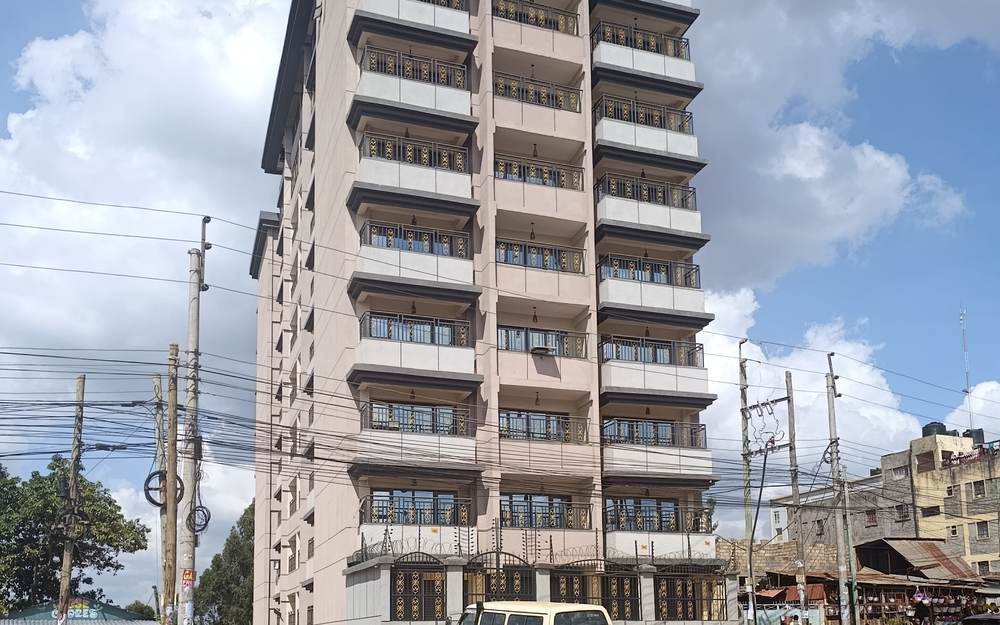
Windshield Survey
Limuru Road
A photographed, GPS-tagged drive along Limuru Road recording what is actually being built and occupied: apartment blocks, mixed-use podiums, and commercial frontages.
Photographs
20
Route
About 14.8 km
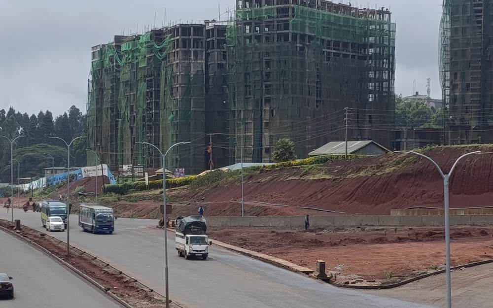
Windshield Survey
Waiyaki Way
A photographed, GPS-tagged drive from the Kikuyu end of Waiyaki Way into Westlands, recording high-rise residential and commercial construction against the outer-ring blocks.
Photographs
29
Route
About 17.5 km
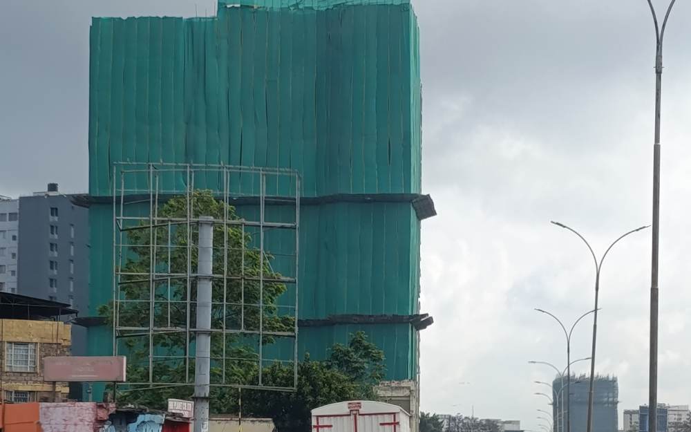
Windshield Survey
Thika Road
A photographed, GPS-tagged drive along the Thika Road superhighway from the Nairobi end through Roysambu, Ruiru, Juja, and Thika to Kenol, recording the apartment and commercial ribbon along the way.
Photographs
81
Route
About 52.6 km
Method
Why we survey from the road
A windshield survey is a fast, repeatable way to see what developers are building and what tenants are being offered along a corridor. Each frame carries GPS and time metadata, so the position of every observation can be verified.
Surveys are observational. They are not valuations and do not describe title, rents, or occupancy. For analysis of a specific plot, request a feasibility review.
Ready to turn a plot into a performing asset?
Share your corridor and budget and we will come back with a feasibility view and a clear path to handover.